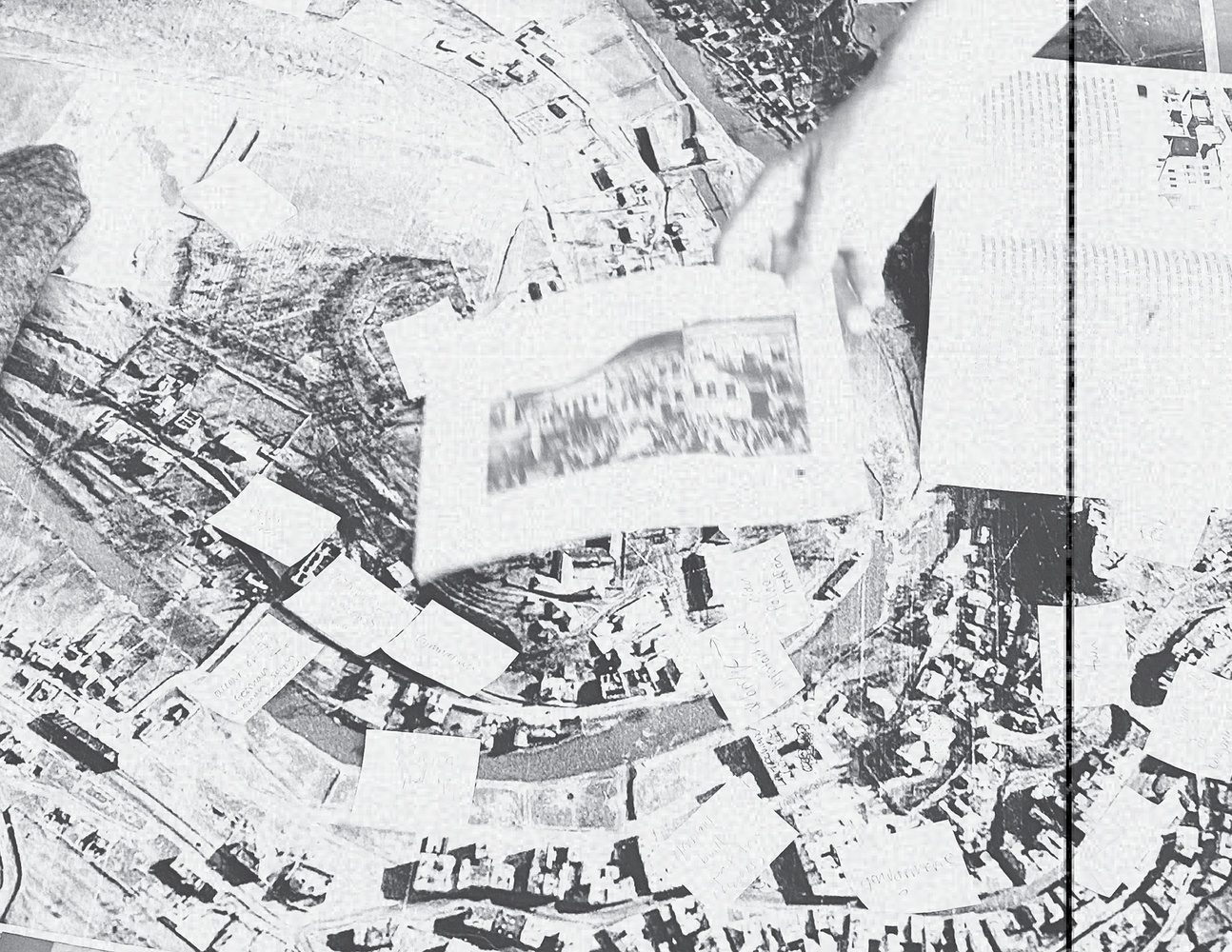
This project is an attempt to explore the poetics of topography and the terrain of history. It is a proposal for ways of working with and fabulating elevation through fragmented archives and from temporal and spatial removal. It is situated in a town, a place called Buczacz, a place described in Omer Bartov’s The Anatomy of Genocide. It is from Bartov’s work, and archive of documents and images, and in collaboration with historical geographer of the Holocaust, Anne Kelly Knowles, that this work began as a part of a larger endeavor to reconstruct the events and context that lead to the destruction of Buczacz’s Jewish community during World War II.
The hills and steep stream banks of Buczacz do not provide a passive backdrop for the genocide that was perpetrated upon them, across them, within them. Rather, they structured how it was experienced and contained the evidence of killing set to earth. Elevation broadcast the sounds and sight of murder from the hilltops where it was carried out. There are also geographies of survival and resilience bound up in topography: the underground. The goal of generating terrain at different resolutions, excavating it and reconciling it with and without a fragmented archive is not to interpolate elevation for the sake of precise measurement and reconstruction, but to draw out the landscaped unknowns and wonder about how the terrain of historical experience that is grounded in a place like Buczacz.
The resulting digital elevation models, contours, point elevations, and surfaces, reflect the trouble of terrain, resolution, and digitization when applied to histories of erasure.


