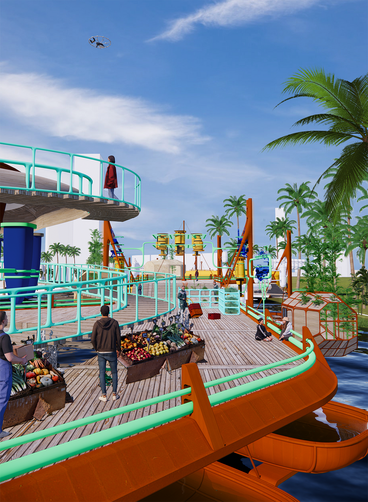
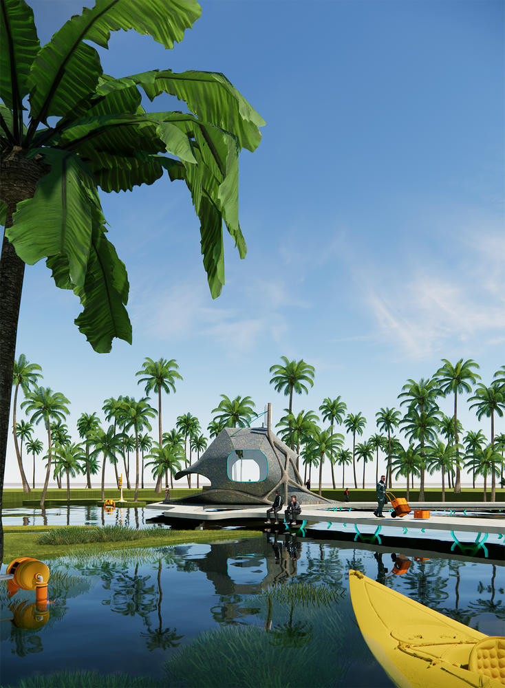
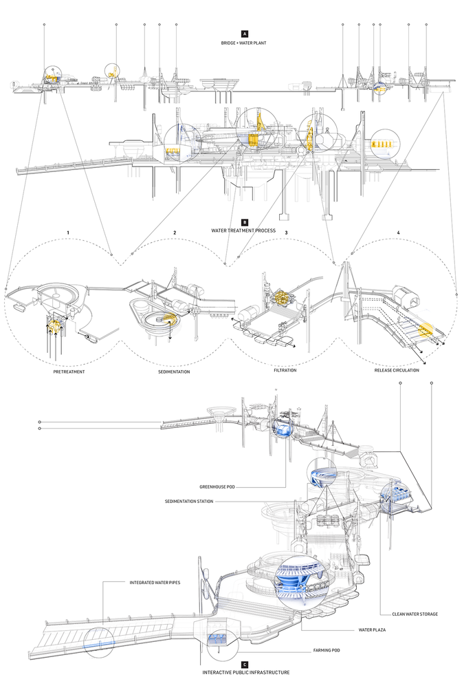
Throughout the years Waikiki has evolved to be a heavily urbanized area in Oahu. As elements of the natural Ahupua’a have been disrupted and segmented, there could still be a possibility to work with these existing man-made disruptions and establish a system of interventions that revitalize this new Waikiki. These interventions bridge and reclaim the presence of the watersheds as the origin of life and natural habitats in the newly urbanized Honolulu. Implementing a network of interventions aided by manmade technology at different scales and sites will work primarily to physically bridge segmented areas, treat polluted water, and reclaim watershed land to bring back ecosystems as these move from inland to the ocean. This will result in new hybrid infrastructure to redirect the watershed that crosses Waikiki . In the Ala Wai Canal, there is a physical bridge that also serves as a water treatment plant, still enabling circulation through its structure. Current urban blocks will be readjusted for ater dispersion through them and become hybridized for ecological practices along these new water paths. Water continues its course towards the ocean after these water paths. Right before, it fills back the fishponds where Fort De Russy currently is located.